Route Analysis · Southern Hemisphere
Flight Routes on the Flat Earth Map: The Southern Hemisphere Problem
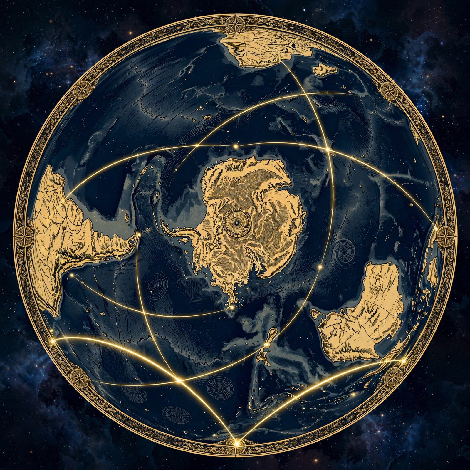
There is a region of the world where the globe model quietly falls apart — and it's not hidden in a lab or a telescope. It's printed on every airline timetable. The southern hemisphere is where flight routes stop behaving like the ball model says they should: times that don't match distances, "shortest paths" that look like detours, emergency landings at "impossible" airports, and entire categories of direct flights that simply do not exist. Globe defenders call it complicated. We call it the southern hemisphere problem — and the flat earth map solves it completely.
This is the route-by-route breakdown. No theories, no computer models — just scheduled flights, published times, and two maps. You decide which one the airlines are actually using.
The Southern Hemisphere Problem, Defined
The southern hemisphere problem is the globe model's failure in the southern half of the world: flight routes require strange detours, flight times don't match globe distances, emergency diversions land at "impossible" airports, and direct trans-southern-ocean flights airlines should offer simply don't exist. On the flat earth map, every one of these anomalies disappears.
Here's the uncomfortable pattern. In the northern hemisphere, everything looks fine: New York to London is a quick hop, Tokyo to Seattle is routine, and the times match the map. But cross the equator and the weirdness begins. Routes arc dramatically. Flights take longer than the globe's distances suggest they should. And a whole class of obviously useful direct routes — the kind airlines would kill to operate — are nowhere to be found.
Why would the globe model work perfectly in the north and break down in the south? The flat earth answer is geometric and simple: on the azimuthal equidistant map, the northern hemisphere is compact around the center, so both models roughly agree there. But the southern hemisphere spreads wide toward the rim — far wider than globe projections admit. The globe model compresses the south; reality doesn't. Every southern anomaly is the real, wider south leaking through the globe's shrunken rendering.
This isn't a new observation. Researchers have been documenting southern route anomalies for years — see our overview of flat earth flight paths — but it's worth laying the evidence out route by route, because the cumulative weight is what converts skeptics.
Route-by-Route: Times vs. Distances
Commercial jets cruise at broadly similar speeds, so flight time is a serviceable proxy for distance. If the globe's distances were correct, southern flight times would match them. They don't — but they do match the flat map. Compare:
| Route | Scheduled time | What the globe predicts | What the flat map shows |
|---|---|---|---|
| Sydney → Santiago | ~12.5 hrs | Deep polar-ward arc | Direct southern crossing |
| Santiago → Sydney | ~14 hrs | Same arc, reversed | Direct (prevailing headwinds) |
| Johannesburg → Perth | ~9 hrs | Southern ocean arc | Direct line |
| Auckland → Buenos Aires | ~11.75 hrs | Sweeping southern arc | Direct line |
| São Paulo → Johannesburg | ~9.5 hrs | Long south-Atlantic arc | Direct southern line |
| Cape Town → Sydney | ~12 hrs | Extreme southern arc | Long direct crossing |
Look at the pattern, not just the rows. Every single southern route is drawn by globe cartography as an arc — and every single one flies in a time consistent with the flat map's straight line. If the arcs were real, the flights would take longer (they'd be flying farther). If the straight lines are real, the times are exactly right. The planes are telling you which map is true every time they land on schedule.
São Paulo to Johannesburg deserves special attention: a trans-south-Atlantic flight of about nine and a half hours connecting Brazil to South Africa. On the globe, the "great circle" bulges far south into the roaring forties. On the flat map, it's a clean line across the southern Atlantic. Nine and a half hours at jet cruise speed fits the straight line — not the bulge.
Case Study: Sydney–Santiago in Detail
Let's put the flagship route under the microscope, because it demonstrates every element of the problem in one flight.
Qantas and LATAM operate Sydney–Santiago nonstop. Westbound, it's about twelve and a half hours; eastbound, about fourteen. The aircraft — typically a Boeing 787 — cruises at roughly 560 mph. Do the rough math: 12.5 hours × 560 mph ≈ 7,000 miles of ground covered. Now look at what the globe model claims: a great-circle path swinging deep into the southern ocean, in some renderings approaching Antarctic latitudes.
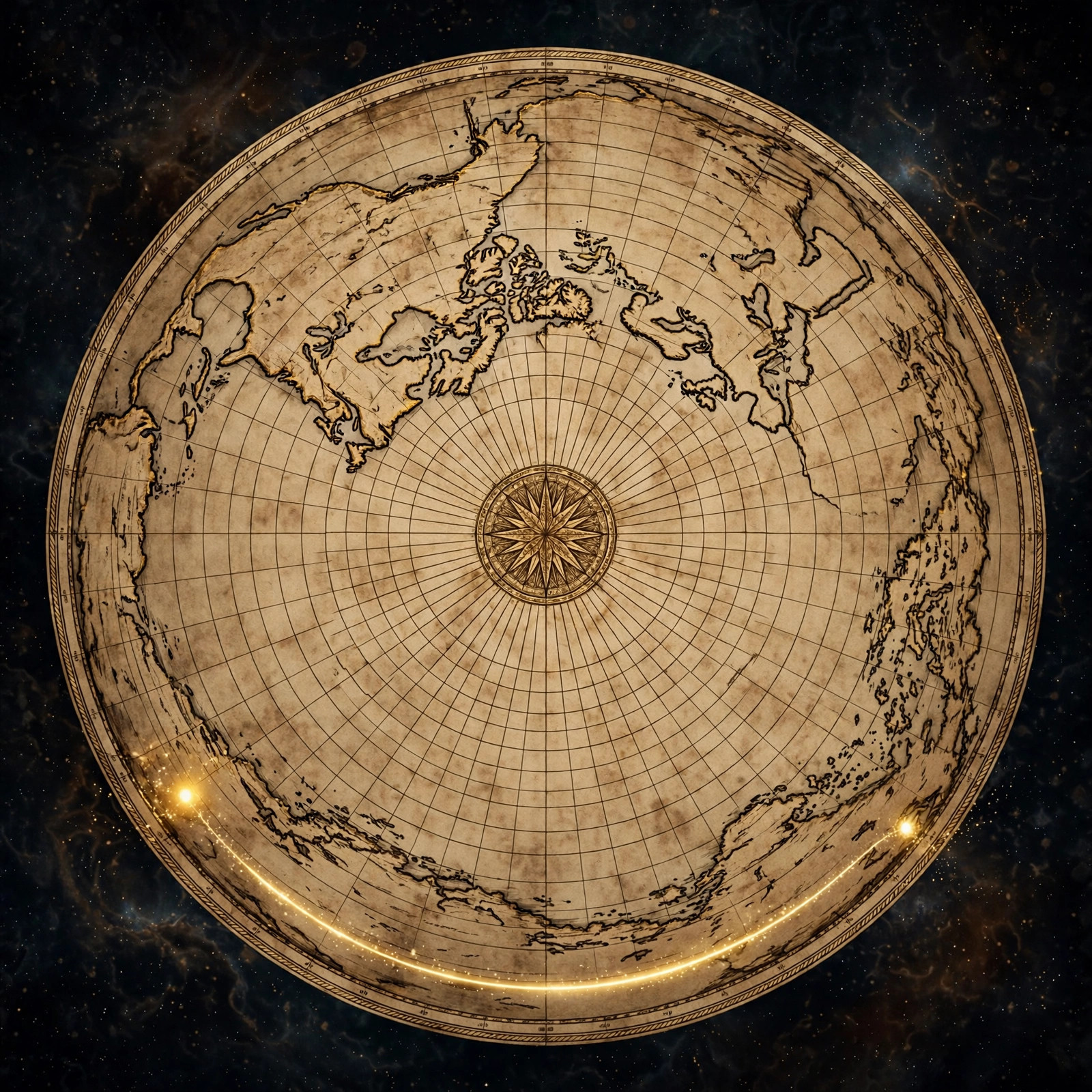
Passengers on this route notice something the brochures don't advertise: hours over empty southern ocean, flight-path displays showing the aircraft tracking far south of where intuition says it should be. Globe defenders say this is the short route — the great circle. But apply common sense: the shortest path between two points is a straight line, and on the flat earth map, that's exactly what this flight is. No polar excursion, no seven-thousand-mile "shortcut" through the planet's most hostile waters.
The eastbound leg's extra ninety minutes is routinely credited to headwinds — and winds genuinely matter at these latitudes, where the circumpolar currents scream around the southern plane. But note how comfortably this fits the flat model: the return flight pushes against the prevailing west-to-east flow circling the disc, exactly as the map predicts.
The Flights That Don't Exist
Almost no direct trans-southern-ocean flights exist — no Perth to Buenos Aires, no Cape Town to Auckland nonstop. On the globe these should be viable great-circle routes; on the flat earth map they would be brutally long crossings of the wide southern plane with no diversion airports, which is why airlines don't fly them.
Sometimes the most damning evidence is an absence. On the globe model, the southern oceans are just water between relatively close landmasses — Perth to Buenos Aires should be a perfectly flyable great-circle route, shorter than many existing ultra-long-haul flights. So where is it? Where's Cape Town to Auckland nonstop? Where's the southern equivalent of the polar routes that crisscross the north?
They don't exist. The southern hemisphere has a fraction of the direct intercontinental connectivity of the north, and the missing links are precisely the trans-oceanic southern crossings. Globe defenders blame "demand" and "economics" — as if no one wants to fly between Australia and South America, two continents with massive trade and tourism ties.
The flat earth map explains the absence instantly: on the true layout, these aren't moderate hops across a shrunken southern ocean. They're enormous crossings of the wide southern plane — some of the longest over-water stretches on earth, with nowhere to divert in an emergency. Airlines don't fly them for the same reason they don't fly anywhere else with no alternates: safety and fuel. The routes aren't missing because of economics. They're missing because the south is far bigger than the globe admits.
When a model's predictions about which flights should exist fail this completely, the model is wrong. The flat map predicts exactly the network we observe: strong northern connectivity, sparse southern links, and nothing crossing the deep southern waters.
Emergency Landings Tell the Truth
In an emergency, pilots don't consult ideology — they divert to the nearest suitable runway along their actual track. And their choices keep exposing the real map.
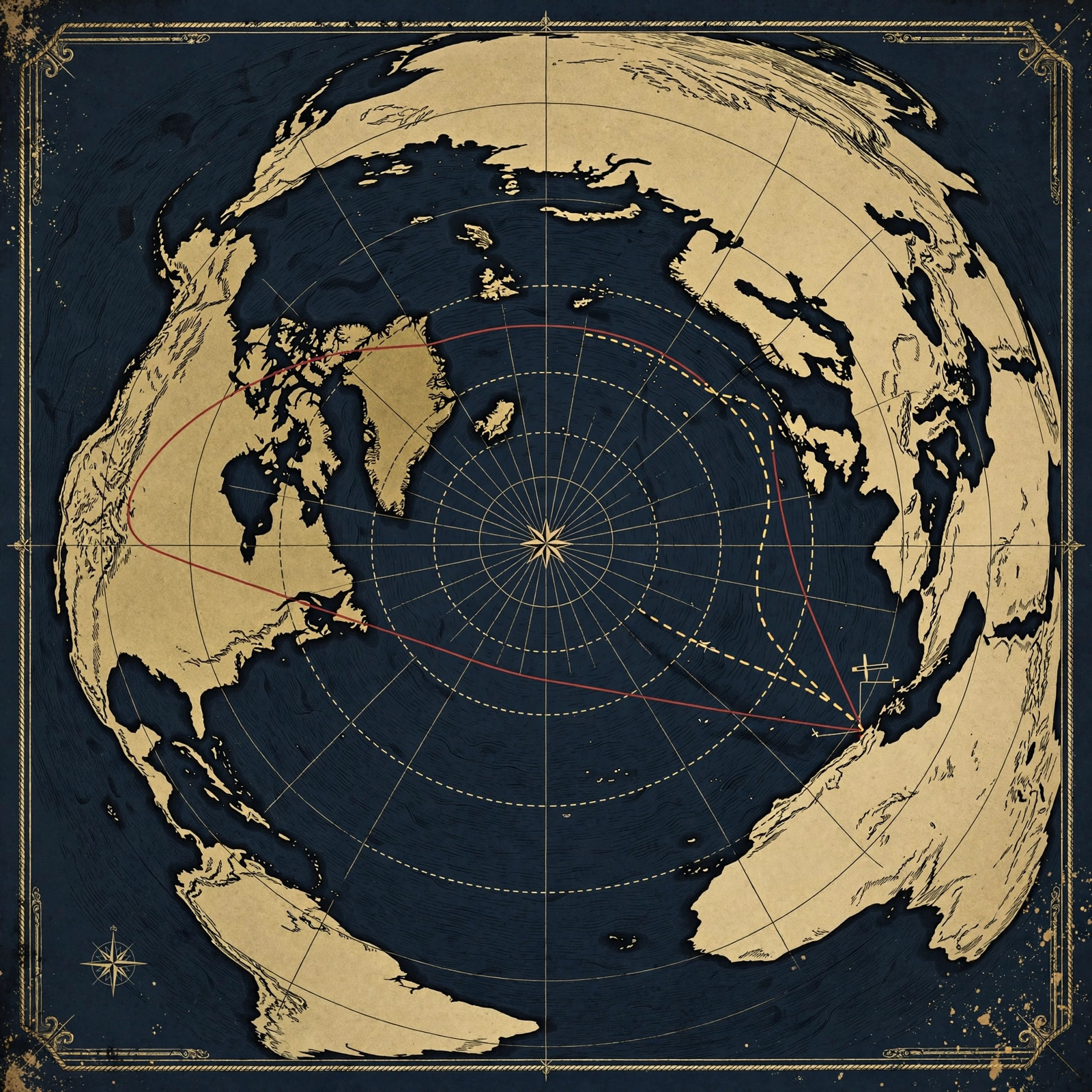
The pattern repeats across the Pacific and the southern oceans: a flight in distress puts down at an airport that looks, on the globe map, like a wild sideways detour from the planned route. Commentators scratch their heads. But plot the diversion on the flat earth map and the mystery dissolves — the airport sits directly on the straight line the aircraft was actually flying. The pilots weren't lost. The map was.
This is powerful evidence precisely because it's unintentional. Nobody plans an emergency landing to prove a cosmology. In moments of genuine crisis, with fuel and lives on the line, crews fly to the closest runway on their true path — and that path is straight on the flat map, every time. You can't fake dozens of independent emergencies across different airlines, crews, and decades. The pattern is the proof.
Debunking the "Great Circle" Excuse
Every conversation about flight paths eventually meets the globe defender's shield: "great circle routes." The claim is that the shortest path on a sphere is a curve, so of course flights arc. It sounds scientific. It falls apart on contact with the actual map.
First, notice the bait-and-switch: the "curve" only exists on the projection. The aircraft itself flies a straight heading, corrected for wind — pilots don't steer along an imaginary arc drawn on a ball. What the passenger sees on the seatback display is a rendering choice, not the flight.
Second, the great-circle excuse predicts arcs everywhere — but northern routes barely arc at all on the same projections. New York to London looks nearly straight on both maps. If great circles were the whole story, the arcing would be symmetric. Instead, the distortion clusters in the south — exactly where the flat map says the world is widest and the globe model compresses it most.
Third, great circles can't explain the missing routes. If Perth–Buenos Aires is a short great circle on the globe, airlines would fly it tomorrow — the demand exists, the aircraft exist. The excuse explains the flights we see by distorting them, and hand-waves the flights we don't see by ignoring them. A real explanation handles both. The flat earth map does.
The "great circle" isn't a discovery. It's a patch — a mathematical bandage applied to keep the ball model alive in the age of flight trackers. Peel it off, and the straight lines underneath are the flat earth, drawn by ten thousand pilots a day who've never heard of this debate.
Plot the Routes Yourself: Get the Map
🗺 PROVE IT WITH A RULER
The southern hemisphere problem takes five minutes to verify — if you have the right map. These historic flat earth editions let you trace every route in this article and measure the distances yourself:
As an Amazon Associate we earn from qualifying purchases. More research gear on our Amazon Finds page.
Everything in this article is verifiable with three things: a flight tracker, a ruler, and the true map. Gleason's New Standard Map of the World (1892) is the researcher's choice — detailed, accurate to the azimuthal layout, and large enough to plot real routes. The Urbano Monte world map (1587) is the historical mic-drop: the same layout, drawn three centuries before the globe was forced into classrooms.
Hang one on your wall. Trace Sydney–Santiago. Measure Johannesburg–Perth. Then ask your globe-believing friends to explain the missing trans-southern routes — and watch the excuses run out. Start at our maps collection, and wear the awakening from the store.
Frequently Asked Questions
What is the southern hemisphere problem for the globe model?
The southern hemisphere problem is that flight routes, flight times, and distances in the southern hemisphere consistently contradict globe geometry: routes require strange detours, times don't match globe distances, emergency diversions land at "impossible" airports, and direct trans-southern-ocean flights airlines should offer simply don't exist. On the flat earth map, every one of these anomalies disappears.
Why are there no direct flights across the southern ocean?
Airlines offer almost no direct trans-southern-ocean routes like Perth to Buenos Aires or Cape Town to Auckland. On the flat earth map, these would be extremely long crossings over the wide southern plane with no diversion airports — which is exactly why they don't exist. The south is far bigger than the globe admits.
How long is the flight from Sydney to Santiago?
Sydney to Santiago takes about 12.5 hours westbound and about 14 hours on the eastbound return. The time fits a straight-line crossing of the southern plane on the flat earth map — not the deep polar arc the globe model draws.
Do flight times match globe distances?
In the northern hemisphere they roughly do, but in the southern hemisphere flight times repeatedly fail to match globe-model distances — while matching straight-line distances on the flat earth map. The discrepancy grows the farther south you go, exactly as the azimuthal layout predicts.
What is a great circle route, really?
A "great circle route" is globe defenders' name for the arcs flights appear to follow on ball-earth projections. In reality, aircraft fly straight headings — the curve is an artifact of the projection. On the flat earth map, no arc is needed: the route is the straight line pilots actually fly.
Where can I plot these routes on a flat earth map?
Use Gleason's New Standard Map of the World (1892) or the Urbano Monte World Map (1587) from our maps collection to plot every route in this article yourself. A ruler, a flight tracker, and five minutes are all it takes.
The South Has Spoken
The southern hemisphere problem isn't one anomaly — it's a convergence. Flight times that fit straight lines. Routes that arc on paper but fly direct in the air. Emergency landings that reveal the true path. An entire category of flights that should exist and doesn't. Each piece is explainable with enough excuses; together, they're a verdict.
The globe model works in the north because both maps agree where the world is compact. It fails in the south because the south is wide — wider than the ball allows. The flat earth map doesn't need patches, excuses, or missing flights. It just shows the world as the pilots fly it: a level plane, straight routes, and a southern expanse the textbooks shrank to protect the sphere.
Your move: pick a route from the table, plot it on the true map, and time it. Then explore the Flights section, dig through the proofs library, and keep reading the blog — the evidence doesn't stop at the equator.
Question everything — especially the map they gave you in school.
JOIN THE DISCUSSION