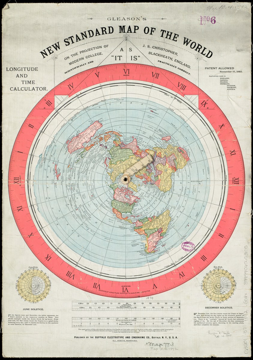
Flat Earth — Gleason 1892 Map Poster
$24.99
Museum-quality reproduction of Alexander Gleason's 1892 "New Standard Map of the World" — the most famous flat-earth map ever published. Sourced from a high-resolution Boston Public Library scan (public domain, 1892). Printed on demand.
- Reproduced from the 1892 original — public domain
- 12×18 in. — $24.99 · 18×24 in. — $29.99
- Satin 210gsm museum-quality paper, printed on demand
Secure checkout powered by Stripe. Printed on demand and shipped to your door.
The Map That Started It All
In 1892, civil engineer Alexander Gleason of Buffalo, New York published "Gleason's New Standard Map of the World" — on the projection of J. S. Christopher, "scientifically and practically correct, as it is." It showed the world as an azimuthal equidistant projection centered on the North Pole: continents radiating outward, Antarctica wrapping the rim as a vast encircling ice wall. The original print even included working longitude and time tables, with two rotating arms so the reader could calculate the time anywhere on earth. Gleason was granted U.S. Patent 497,917 for it in 1893.
More than 130 years later, it remains the most reproduced flat-earth map in history — the image every researcher has seen on a wall somewhere. This is a faithful museum-quality reproduction sourced from a high-resolution scan of an original held by the Boston Public Library (public domain, 1892). Hang the map that started the modern conversation.
Details
- Faithful reproduction of the 1892 original, including time tables and solstice diagrams
- High-resolution source — sharp text and fine detail at full poster size
- Heavyweight matte paper, printed on demand in the USA
- 12×18 in. and 18×24 in. — ready to frame