Atmosphere · Observation
Weather Balloons vs Satellites: What Actually Floats, What Merely Claims To
The Comparison Nobody Makes
Ask an ordinary person how we know what the upper atmosphere is like and they will say "weather balloons." Ask them how we know what the whole Earth looks like and they will say "satellites." Both answers roll off the tongue with the same easy confidence — yet these two things could not be more different in character.
One is a physical object you can watch inflate, launch, and disappear into the clouds, then track with a radio receiver and recover from a field three hours later. The other is a claim about an object hundreds of kilometres overhead that you have never seen with your own eyes, never touched, never tracked with equipment you own, and never recovered.
At flatearther.world our motto is simple: Question Everything. So let's do exactly that. Let's put weather balloons and satellites side by side and ask which one behaves like a real thing — and which one behaves like a story.
What a Weather Balloon Actually Is
A **weather balloon** is a large latex envelope filled with helium or hydrogen, carrying a small instrument package called a radiosonde. It is launched from the ground, rises through the atmosphere, transmits temperature, pressure, and humidity data by radio, expands until it bursts, and falls back to Earth where it can be recovered.
Here is the beautiful part: everything about a weather balloon is checkable.
- You can buy one. They are sold openly, cheaply, to hobbyists.
- You can fill it yourself and watch it lift off from a park.
- You can attach a camera, a GPS logger, or a packet radio transmitter.
- You can follow its signal on a handheld receiver.
- You can drive out and pick up the wreckage when it lands.
Thousands of people do this every year. Schools do it. Amateur radio operators do it. The balloon rises, the pressure drops, the latex stretches, and at some altitude it pops. The payload comes down on a small parachute. Every step is observable, repeatable, and open to anyone with a modest budget and a free afternoon.
That is what real evidence looks like: touchable, trackable, recoverable.
What a Satellite Claims To Be
A **satellite**, as presented by the Globe Deception, is supposedly a machine orbiting the Earth at tens of thousands of kilometres per hour, transmitting signals, taking photographs, and relaying communications. Yet no ordinary person has ever observed one directly, tracked one with their own equipment, or examined a recovered unit.
Now compare the satellite story point by point.
- You cannot buy one. You cannot build one. You cannot launch one.
- You cannot watch one lift off unless you are on an approved guest list at a government facility.
- You cannot track one with equipment you own — you are told to trust a database.
- You cannot recover one. Nothing ever comes back.
- You cannot photograph one as anything more than a moving point of light, which could be anything: a drone, a balloon, an aircraft, a reflection.
Every supposedly decisive image of a satellite is a rendering, an artist's illustration, or a photograph taken by... another satellite. The chain of evidence loops back on itself and never touches the ground.
Notice the asymmetry. The balloon is verified from below, by ordinary people. The satellite is verified only from above, by the very institutions that profit from the story. That is not science. That is testimony — and testimony from interested parties deserves the deepest scepticism.
The Horizon Test: What Each One Should Show
If the Globe Deception were true, high-altitude footage should reveal unmistakable curvature and a rotating sphere. In practice, **weather balloon** footage from the edge of space consistently shows a flat, level horizon stretching out to meet a nearby sun — the opposite of what the globe model predicts.
This is where the comparison gets uncomfortable for the mainstream.
Weather balloons are cheap enough that thousands of amateurs have sent cameras up on them. Their footage is not controlled by any agency. And what does that footage show, again and again? A horizon that rises to meet the eye, level and flat, with no visible curve at all — even at altitudes where the globe model insists curvature should be obvious.
Meanwhile, the satellite images that supposedly show a curved Earth come from institutions with everything to lose if the curve disappears. When the same claim is checked by independent amateurs with balloons, the curve conveniently fails to appear.
You can explore dozens of these observations in our evidence archive, where amateur footage is collected side by side with official imagery. The contrast is striking. And if you want to understand how the globe model explains away the flat horizon, our FAQ walks through the standard objections one by one.
Why Balloons Are the Honest Instrument
A **weather balloon** is honest because it can be repeated by anyone, anywhere, with no permission required. Its data is public, its flight path is trackable, and its wreckage is recoverable. An instrument that anyone can check is worth more than a thousand press releases from agencies nobody can audit.
There is a principle here worth stating plainly: the more checkable a claim is, the more we should trust it — and the less checkable it is, the more we should doubt it.
Weather balloons pass that test with room to spare. Their radiosonde data is broadcast in the open. Their flight paths are public. Their launches are announced. Their wreckage is found in fields by farmers. When a balloon's data looks odd, anyone can launch another and compare.
Satellites fail that test completely. Their orbits are published in databases maintained by the same agencies that operate them. Their imagery is processed before release. Their hardware never returns. When something looks odd, you are told to trust the experts.
That is not a small difference. It is the difference between an instrument and an assertion. Our map collection shows what happens when you take the checkable route seriously — the world that emerges is flat, level, and consistent with what your own eyes report.
The Flight Comparison: What Pilots Actually Report
Pilots flying at altitude report a level horizon and no sense of curvature, matching **weather balloon** footage rather than the globe model's predictions. Their testimony is rarely heard, because it contradicts the story the satellite imagery is meant to support.
Here is a detail the mainstream rarely mentions: commercial pilots, flying higher than most people ever will, consistently describe a flat, level horizon. No curvature. No sense of flying around a sphere. Just a level plane stretching to the edge of vision.
You can read more about this in our flights section, where pilot accounts and high-altitude footage are gathered together. The pattern is the same one the balloons show: the higher you go, the flatter it looks.
The satellite story requires you to believe that all of this — the balloon footage, the pilot testimony, the amateur photography — is somehow misleading, while the processed imagery from unaccountable agencies is the truth. That is a strange position for anyone who claims to love science.
What This Means For You
You do not need a rocket or a government badge to investigate the world around you. You need curiosity and a willingness to look.
Launch a balloon. Watch it rise. Track it. Recover it. Compare what you see with what you are told you should see. The gap between the two is the gap between evidence and assertion — and once you notice it, you cannot un-notice it.
Read widely. Compare sources. Ask why one kind of claim can be checked by anyone while the other can only be believed. The blog is full of these comparisons, and the evidence archive is the place to start if you want the raw material.
Most importantly, share what you find. The Globe Deception survives on silence and deference. Every person who launches their own balloon and posts the footage is a small crack in that silence.
Get the Map and Verify It Yourself
🗺 GET THE TRUE MAP
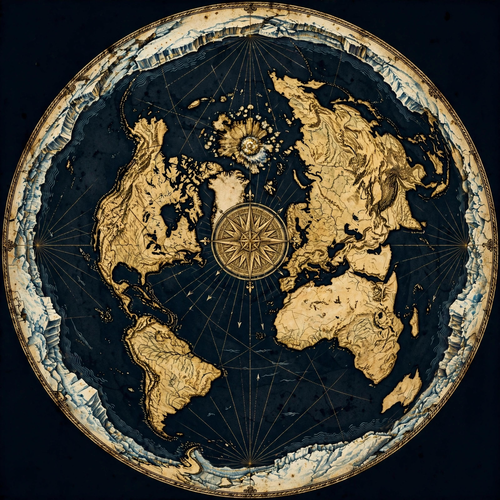
Don't take our word for it — verify it yourself. These historic flat earth maps let you trace the evidence in this article with a ruler and see the truth firsthand.
As an Amazon Associate we earn from qualifying purchases. See also our Amazon Finds page for more research gear.
Frequently Asked Questions
Can I really launch my own weather balloon?
Yes. Weather balloons are sold openly to hobbyists, schools, and amateur radio operators. With a modest budget you can buy a balloon, a helium fill, a camera, and a tracker, then launch and recover it yourself. Thousands of people do this every year with no permission required.
Why have I never seen a satellite with my own eyes?
You are told the moving points of light overhead are satellites, but a point of light could be a drone, an aircraft, a balloon, or a reflection. No ordinary person has ever examined a satellite up close, tracked one with private equipment, or recovered one after use. The evidence is entirely second-hand.
Do weather balloon cameras show curvature?
Amateur footage from the edge of space consistently shows a flat, level horizon meeting a nearby sun. Even at altitudes where the globe model predicts obvious curvature, the curve fails to appear. This is one of the strongest observational contrasts between the balloon record and the satellite story.
Why do pilots not report seeing a curved Earth?
Pilots flying at altitude describe a level horizon stretching to the edge of vision, with no sense of flying around a sphere. Their testimony matches the weather balloon footage and contradicts the imagery produced by agencies with a stake in the globe model. Their accounts are rarely publicised.
How is a balloon more trustworthy than a satellite?
A balloon can be bought, launched, tracked, and recovered by anyone. Its data is public and repeatable. A satellite can only be believed through institutional channels that cannot be independently audited. Checkable claims deserve more trust than uncheckable ones — that is the whole principle.
Look Up, Then Look Again
The next time someone tells you satellites prove the shape of the Earth, ask them one simple question: have you ever seen one? Not a picture of one. Not a diagram. An actual object, tracked by your own equipment, recovered from your own field.
Then ask what happens when you launch a weather balloon. It rises, it transmits, it pops, it falls, and you go and pick it up. One of these is an instrument. The other is a story you have been asked to accept.
Our motto is Question Everything, and it has never been more necessary. Start with the evidence archive. Read the FAQ. Study the maps. Check the pilot accounts. Then visit the store, get the gear, and launch your own balloon this weekend. Film it. Post it. Compare it with what you were taught to expect.
The truth does not need protection. It only needs people willing to look. Be one of them.
JOIN THE DISCUSSION