Oceans · Water Level
Tides on a Flat Earth: Water, Weight and the Missing Moon Pull
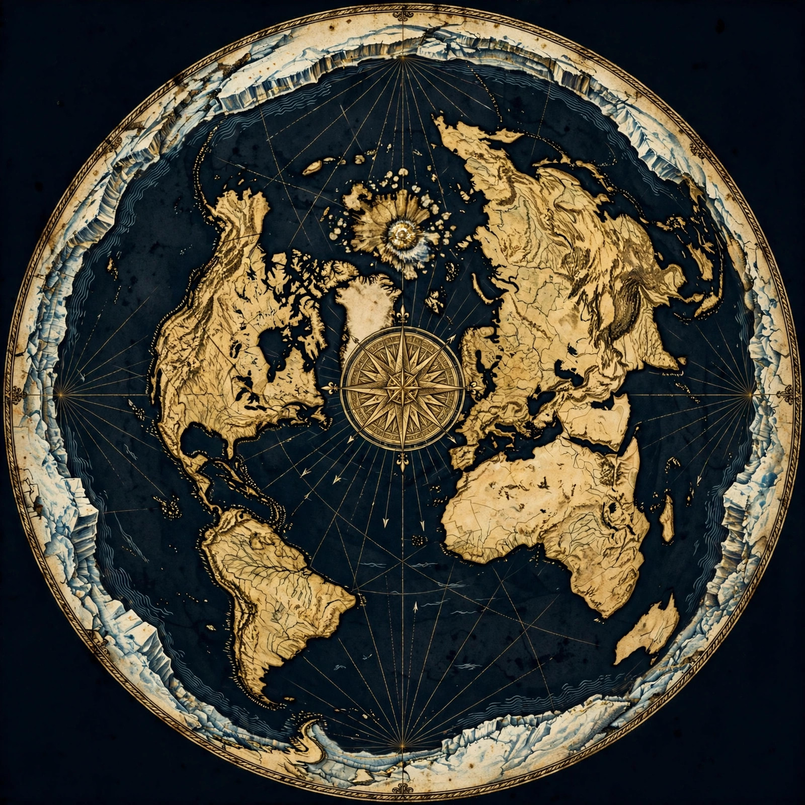
The Tide Is Real — the Explanation Is the Question
Tides are real and observable, but the Moon-pull explanation is not settled. On a flat earth, tides are best understood as **local water movement** driven by pressure, wind, temperature and electrical forces — not by a distant body's gravity reaching across space.
Anyone who has stood on a jetty and watched the water climb a piling knows tides are real. Nobody on our side of this conversation denies the rise and fall. The question that matters is why the water moves — and whether the answer we were handed in school actually fits what the water does.
The Globe Deception asks you to believe that a rock a quarter of a million miles away reaches across the void, grabs an entire ocean by the ankles, and lifts it several metres twice a day. That is a remarkable claim. Remarkable claims deserve more than a diagram in a textbook.
So let's do what the motto says: question everything. Start with the water itself.
Where the Moon-Pull Story Comes Up Short
The standard tide model has persistent problems: it predicts two equal bulges, cannot explain why tides vary so wildly between nearby coasts, and requires gravity to move water while leaving ships and buoys unaffected. On a flat earth, those anomalies point to **local mechanical forces**, not lunar attraction.
Run the numbers on the conventional story and cracks appear straight away.
- Two bulges, one Moon. The model needs a second bulge on the far side of the Earth, supposedly because the Earth is pulled away from the water. On a flat, stationary plane this geometry has nowhere to live.
- Neighbouring ports disagree. Two harbours a few miles apart can see tide heights and timings that differ dramatically. A distant Moon would treat them almost identically.
- The water moves; nothing else does. If a force is strong enough to lift oceans, why are the boats on them not yanked upward too? Why does a floating buoy stay put while the sea around it rises?
- Timing drifts. Tides do not keep perfect step with the Moon's position. They shift with seasons, storms and local conditions in ways the lunar model never cleanly accounts for.
Each of these is a small thing. Together they are a pattern — and patterns are where honest investigation begins. You can see the same kind of pressure-testing across our observational evidence pages.
What the Water Actually Does
Observed tides track **local conditions**: wind direction, atmospheric pressure, water temperature, coastline shape and seasonal cycles. Flat-earth researchers treat these as the primary drivers — measurable, repeatable, and right here on the plane rather than emanating from a distant sphere.
Here is the productive move: stop theorising and start watching. When you correlate tide heights with conditions on the ground, the correlations are striking.
- Pressure. High atmospheric pressure tends to push water levels down; low pressure lets them rise. This is well documented in coastal records and storm surge behaviour.
- Wind. Sustained onshore winds pile water against a coast. Offshore winds draw it back. A strong blow for a day or two visibly shifts the level.
- Temperature and density. Warmer, less dense water sits differently than cold water. Seasonal heating and cooling produce seasonal tide patterns.
- Resonance and basin shape. Water in a bay, estuary or channel sloshes and oscillates. The shape of the container drives the rhythm far more than any distant body.
None of this requires a lunar hand. All of it is local, testable and repeatable. That is what real explanation looks like.
Electricity, Pressure and the Sloshing Sea
Some flat-earth researchers point to **electrical and electromagnetic effects** in the atmosphere and oceans as a tide driver, alongside pressure and resonance. Water is a polar molecule and responds to charge; the sky above it is a charged system. These forces are local and physical, unlike an invisible lunar leash.
There is a deeper layer worth exploring. The atmosphere is not electrically neutral — it carries charge, currents and fields. Water, being a polar molecule, is sensitive to them. Experiments with charged plates and water surfaces show measurable movement and shaping.
Combine that with the resonant behaviour of large water bodies and you get a system capable of producing rhythmic, location-specific rises and falls without any outside body doing the lifting.
Is this the whole picture? Probably not. Tides are complex, and honest research admits complexity. But the flat-earth approach is to build explanations from things we can actually measure — charge, pressure, wind, temperature, basin shape — rather than from a force we have never isolated in a laboratory at planetary scale.
For the broader model these observations sit inside, see our flat-earth map resources.
Tide Tables, Charts and the Shape of the Plane
Tide tables are **practical local records**, not confirmations of the globe. They are built from observed water levels at specific stations and predict future levels from past patterns. Read that way, tide charts are some of the strongest evidence that tides are regional and mechanical, not global and lunar.
Here is a question worth asking: how is a tide table actually made? Not from a Moon equation — from years of measurements at that exact location. Engineers record the water level, find the repeating pattern, and publish the forecast.
Notice what that means. The table works because the local pattern is reliable. It says nothing about the shape of the Earth and everything about the behaviour of water in that particular place. Two stations a short distance apart need two different tables, because the water behaves differently in each.
This is exactly what you would expect on a stationary plane with varied local conditions — and it sits awkwardly with a single distant body supposedly driving every ocean uniformly. Our frequently asked questions cover more of these everyday observations.
The Same Logic Applies Above the Water
The reasoning used for tides — trust what you can observe, question the model — applies equally to long-haul aviation. Flight paths, timings and refuelling stops make far more sense on a **flat, stationary plane** than on a spinning globe, and the same investigative habit serves both.
Once you start questioning the water, you start questioning everything else. Long-haul flights are a good next stop: the routes, the durations and the unscheduled stops tell a story that the globe model struggles to fit.
If your instinct is to check the tides yourself, do it. Keep a log. Compare levels with pressure and wind readings from the same days. That habit of personal verification is the heart of this movement, and it is why we keep our field notes and investigations open to everyone.
You can also dig into the flight-path anomalies on our flights page — same method, different subject, same surprising results.
Follow the Water, Not the Story
Tides are real. What is not settled is the explanation. The Moon-pull model asks you to accept a force you cannot see, acting at a distance you cannot verify, producing effects that do not match what coastal records actually show.
The flat-earth approach offers something better: local, measurable, repeatable causes. Pressure. Wind. Temperature. Basin shape. Charge. Things you can watch with your own eyes and record in your own notebook.
That is the spirit of Question Everything. Not because we enjoy disagreeing, but because the water deserves an honest answer.
Get the Map and Verify It Yourself
🗺 GET THE TRUE MAP
Don't take our word for it — verify it yourself. These historic flat earth maps let you trace the evidence in this article with a ruler and see the truth firsthand.
As an Amazon Associate we earn from qualifying purchases. See also our Amazon Finds page for more research gear.
Frequently Asked Questions
If the Moon doesn't cause tides, what does?
On a flat earth, tides are driven by local forces: atmospheric pressure changes, wind, water temperature and density, the shape and resonance of the coastline, and possibly electrical effects in the atmosphere and oceans. These are measurable and repeatable at each location, which is why tide tables are built from local records rather than lunar equations.
Why do tides happen roughly twice a day?
The twice-daily rhythm fits the resonant sloshing of large water bodies driven by recurring local cycles such as daily pressure and temperature swings. A basin has natural oscillation periods, and recurring forcing produces recurring rises and falls. The rhythm is real; the lunar explanation is what we question.
Why do nearby harbours have different tides?
Because tides are local. Coastline shape, depth, inlet width and exposure to prevailing winds differ from harbour to harbour, so the water responds differently at each. A distant Moon would affect neighbouring ports almost identically, yet real tide tables show substantial differences over short distances.
Do flat-earth researchers study tides seriously?
Yes. Tide observation is one of the most accessible investigations anyone can do. Keep a daily log of water level alongside pressure, wind and temperature readings from the same location, and compare the patterns yourself. Personal measurement is the foundation of this movement.
Where can I learn more about the flat-earth model?
Start with our observational evidence pages, then explore the map resources and frequently asked questions. Our blog carries ongoing field notes, and the flights section applies the same questioning method to aviation. Every resource is designed for personal verification rather than passive belief.
Your Turn at the Water's Edge
You do not need permission or a laboratory to investigate tides. You need a notebook, a shoreline, and the willingness to write down what you actually see instead of what you were told to expect. Record the level. Note the pressure. Watch the wind. Compare the days.
The moment you start measuring for yourself, the Globe Deception stops being an argument and becomes an invitation — an invitation to see the world as it presents itself, local and knowable and full of questions.
Question everything. Then go and check. Explore our evidence pages, study the maps, and if you want to support independent research, visit the store. The water is waiting.
JOIN THE DISCUSSION