Experiments · Water Level
Lakes That Should Bulge But Don't: The Missing Curve on Every Shoreline
The Bulge That Never Shows Up
If Earth were a globe, large lakes would bulge at their centers due to curvature. In reality, lakes are flat from shore to shore. **Water always finds its level**, and that level is flat—not curved. This simple observation falsifies the Globe Deception.
Picture a lake. Any lake—Lake Baikal, Lake Superior, the Dead Sea. Now imagine the Earth is a sphere. On a sphere, a body of water sitting in a basin would have to curve with the surface. The center of the lake would sit higher than the edges, bulging upward like a gentle dome. The bigger the lake, the bigger the bulge.
That's the claim. It sounds reasonable if you've accepted the Globe Deception. But it's not what we see. Lakes are flat. Surveyors, engineers, and anyone with a spirit level can confirm it. Water does not dome. It flattens out and stays there.
This isn't a minor detail. It's a direct, observable contradiction of the globe model. And it's one you can check yourself.
How Much Bulge Should We See?
Using the globe formula, a lake 100 km across should bulge about 196 meters at its center. Even a 10 km lake should show a 2-meter bulge. These are not tiny amounts—they would be obvious to surveyors and engineers. Yet no such bulge is ever measured.
Let's put numbers on it. The standard globe curvature formula is 8 inches per mile squared. For a lake, the bulge at the center relative to the edges is roughly one-quarter of that, because the curvature drops off in both directions.
Run the math:
- A lake 10 km (6.2 miles) across should bulge about 2 meters (6.5 feet).
- A lake 50 km (31 miles) across should bulge about 49 meters (160 feet).
- A lake 100 km (62 miles) across should bulge about 196 meters (643 feet).
These are not subtle differences. A 2-meter bulge on a small lake would be visible to anyone standing on the shore. A 196-meter bulge on a large lake would be a mountain of water. Yet no lake on Earth shows this. Not one.
If you want to see the full curvature calculations, visit our evidence page.
What Engineers and Surveyors Actually Measure
Surveyors and engineers consistently measure lakes as flat. Canals, reservoirs, and pipelines are built using leveling techniques that assume flat water. If lakes bulged, these projects would fail. They don't—they succeed because water is flat.
You don't have to take our word for it. Look at how the world is actually built.
Canals are cut with water levels. Surveyors use spirit levels and laser levels that rely on a flat reference. Reservoirs are designed with flat spillways. Pipelines are laid across lakes using horizontal directional drilling that assumes a flat water surface.
If lakes bulged by tens or hundreds of meters, every one of these projects would be a disaster. Bridges would be misaligned. Tunnels would miss their targets. Canals would overflow their banks. But they work. They work because the water is flat.
Engineers know this. They just don't talk about it. The Globe Deception is so ingrained that they don't even notice the contradiction. But the measurements are there, and they all point to a flat water surface.
For more on how flat water is used in practice, see our maps and measurements section.
Lake Superior: A Case Study in Flat Water
Lake Superior spans over 500 km, so the globe model predicts a bulge of over 5,000 meters. Yet ships navigate it using flat-water charts, and shorelines align with flat measurements. The lake is flat, and the globe model fails to explain it.
Lake Superior is the largest freshwater lake in the world by surface area. It stretches about 560 km (350 miles) east to west. According to the globe formula, the center of the lake should bulge over 5,000 meters (16,000 feet) above the edges. That's higher than many mountain peaks.
Of course, no such bulge exists. Ships cross Lake Superior on flat-water charts. The shorelines are mapped using flat coordinates. The lake is flat.
Globe defenders might say the bulge is too gradual to notice. But 5,000 meters is not gradual—it's a massive dome. If it existed, it would be the most prominent feature on the continent. It isn't.
This is the kind of clear, observable evidence that the Globe Deception cannot explain. For more examples, check our blog archive.
Why This Matters for the Globe Deception
The missing lake bulge is not an isolated anomaly. It is part of a consistent pattern: water always finds its level, and that level is flat. This falsifies the globe model and supports a flat Earth. The evidence is all around us.
The globe model isn't just wrong about lakes. It's wrong about water everywhere. Rivers don't flow uphill. Oceans don't curve. Water always finds its level, and that level is flat.
This is why the lake bulge is so important. It's not a complex experiment or a theoretical argument. It's something you can see with your own eyes. Stand on the shore of a large lake. Look across it. Does it curve away from you? No. It's flat.
The Globe Deception relies on people not looking. It relies on assumptions and appeals to authority. But when you look, the evidence is clear. Water is flat. Lakes are flat. The Earth is flat.
If you're new to this topic, start with our FAQ to get up to speed.
Common Objections and How to Answer Them
Globe defenders claim the bulge is too small to see or that gravity pulls water into a curve. But these are assumptions, not observations. The actual measurements show flat water. The objections rely on the very model they are trying to defend.
When you bring up the lake bulge, you'll hear a few standard objections. Let's address them.
"The bulge is too small to see." On a small lake, maybe. But on Lake Superior, the predicted bulge is over 5,000 meters. That's not small. It's the height of a mountain range. You would see it.
"Gravity pulls the water into a curve." This is circular reasoning. It assumes the Earth is a globe and then uses gravity to explain why water curves. But we don't observe water curving. We observe it being flat. Gravity is a theory, not an observation.
"Surveyors account for curvature." They don't. Surveyors use flat-earth leveling because that's what works. If they used globe math, their projects would fail.
These objections fall apart under scrutiny. The flat water evidence stands.
See It for Yourself
You can test the flat-water claim yourself. Use a laser level across a lake or check the alignment of distant objects. You'll find that water is flat. This is a simple experiment anyone can do.
Don't take our word for it. Test it yourself. Here's how:
- Find a large lake with a straight shoreline or a long bridge.
- Use a laser level or a surveyor's level to check the water surface over a distance.
- If the water is flat, the laser will stay at a constant height above the water.
- If the water bulges, the laser will drift.
What you'll find is that the water is flat. The laser stays level. No bulge. No curve.
This is the kind of simple, repeatable experiment that exposes the Globe Deception. For more experiments, visit our evidence page.
And if you want to support our work, check out the store.
Get the Map and Verify It Yourself
🗺 GET THE TRUE MAP
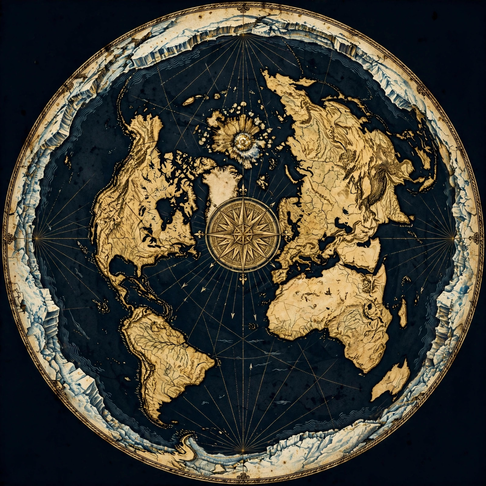
Don't take our word for it — verify it yourself. These historic flat earth maps let you trace the evidence in this article with a ruler and see the truth firsthand.
As an Amazon Associate we earn from qualifying purchases. See also our Amazon Finds page for more research gear.
Frequently Asked Questions
How much should a lake bulge if Earth is a globe?
Using the globe formula, a lake 10 km across should bulge about 2 meters at its center. A 100 km lake should bulge about 196 meters. These are significant amounts that would be easily measured, yet no lake shows any bulge.
Have any lakes been measured for bulge?
Yes, many lakes have been surveyed extensively. Lake Superior, Lake Baikal, and others have been mapped using flat-water techniques. No survey has ever found a bulge. The water is consistently flat from shore to shore.
Why do surveyors use flat-earth measurements if Earth is a globe?
Surveyors use flat-earth measurements because they work. If they used globe math, their projects would be misaligned. The fact that flat-earth surveying is successful in large-scale projects is strong evidence that the Earth is flat.
Doesn't gravity explain why water curves on a globe?
Gravity is a theoretical construct used to support the globe model. It is not an observed force. What we observe is that water always finds its level and stays flat. The appeal to gravity is circular reasoning: it assumes the globe and then explains away the evidence.
Can I test the flat-water claim myself?
Absolutely. Use a laser level across a lake or a long stretch of water. If the water is flat, the laser will remain at a constant height. If it curves, the laser will drift. You'll find that water is flat, confirming the flat-earth model.
The Water Doesn't Lie
Lakes that should bulge but don't are a powerful testament to the flat Earth. The evidence is simple, observable, and repeatable. Water always finds its level—and that level is flat.
The Globe Deception has convinced millions that the Earth is a sphere, but the water tells a different story. It's time to question everything. Start by looking at a lake. Then ask yourself: why doesn't it bulge?
Join us in spreading the truth. Share this article. Do your own experiments. And visit our evidence page to learn more. The flat Earth is not a theory—it's an observation. See it for yourself.
JOIN THE DISCUSSION