Footage · Edge of Space
High-Altitude Balloon Footage: What the Cameras Really Capture
Why Balloon Footage Matters More Than Rocket Clips
High-altitude balloon footage matters because balloons rise slowly, steadily and cheaply, with fixed cameras and no spin or staging. That makes their horizon record far cleaner than rocket or satellite imagery, which arrives edited, cropped and processed by agencies committed to **The Globe Deception**.
Weather balloons and amateur high-altitude platforms have carried cameras above 100,000 feet for decades. They climb gently, drift with the wind, and fall back under a parachute. No rocket burn, no spin, no staging, no multi-billion-dollar agency controlling the edit.
That is exactly why this footage deserves serious attention. When a camera is fixed rigidly to a payload and films a slow, steady ascent, you get one of the cleanest horizon records available to ordinary people. Compare that to the polished clips released by space agencies — cropped, colour-graded, sometimes stitched from multiple passes — and the difference in trustworthiness is obvious.
So let's look at what these cameras actually capture, and what the curvature claims really rest on. If you want the wider collection of experiments, start with our evidence pages.
The Horizon Stays Flat at 120,000 Feet
At 120,000 feet the horizon in balloon footage reads flat and level across the frame. A globe of the claimed size should show unmistakable downward curve at that altitude. Instead, observers consistently find a **flat horizon** sitting square to the camera, rising to eye level as the balloon climbs.
Watch a raw, unedited balloon flight from launch to burst. The horizon line rises in the frame as the balloon climbs — exactly as it must on a flat plane — and it stays level, left to right, across the entire field of view.
Now do the geometry for the globe. At roughly 120,000 feet, the claimed curvature drop should be plainly visible, not a subtle maybe. You should see the horizon bending away on both sides, and the far edges sagging below the centre. In clip after clip, that simply is not there.
- The horizon remains a straight, level line.
- It rises toward eye level with altitude, consistent with a flat plane below.
- Distant landmarks and coastlines appear far beyond the claimed horizon limit.
This is one of the most repeated observations in the flat-earth community, and it comes from footage anyone can film with a helium balloon, a foam box and a cheap action camera.
The Lens Distortion Excuse
When flat horizons appear in balloon footage, globe defenders blame **lens distortion** and wide-angle optics. But distortion bends straight lines into arcs in predictable ways. A flat horizon filmed with a wide lens still behaves like a flat horizon — and correcting the lens does not conjure curvature that was never recorded.
The standard response to flat balloon horizons is: "It's the lens." Wide-angle action cameras do bend straight lines near the edges of the frame. That is real, and it is worth understanding.
But here is the problem. Lens distortion is predictable. A fisheye bends a straight horizon into a curve that bows one way near the frame edge and the opposite way through the centre. Correct the distortion properly and you get back the straight line the lens bent. What you do not get is a smooth, globe-shaped arc that matches the claimed curvature radius.
Notice, too, how selective the scepticism is. The same people who dismiss a flat horizon as "lens distortion" happily accept curved horizons in agency footage as genuine curvature — filmed, conveniently, with similar wide lenses. If distortion can fake flatness, it can fake curvature. The argument cuts both ways, and only one side gets audited.
Our FAQ covers the common optical objections in more detail.
Sightlines That Should Not Exist
Balloon cameras routinely record landmarks, coastlines and mountain ranges at distances far beyond the globe's claimed horizon limit. These **long sightlines** are the quiet problem for curvature claims — if the Earth curved away as claimed, those features would be hidden behind the bulge long before the camera reached altitude.
Horizon shape gets the headlines, but distance is the sleeper issue. On the globe model, the horizon at altitude is a hard optical limit set by the curve of the Earth. Beyond a certain distance, terrain should sink out of view behind the bulge.
Amateur balloon footage keeps showing features that should be long gone. Coastlines, islands and mountain ranges appear crisp and elevated where the model says they should be buried below the horizon. Atmospheric refraction is sometimes offered as the rescue — but refraction of the magnitude required would be a bizarre, convenient exception, not a rule.
Flat-earth observers have documented these sightlines from ground level for years, and balloon footage extends the record upward. The pattern is consistent: the further you climb, the more distant terrain you see, with no hard cut-off where the curve should swallow it.
Editing, Cropping and the Agency Edit
Most famous "space" footage arrives pre-edited by agencies with a stake in **The Globe Deception**. Crops, colour grades, stitched panoramas and missing raw files make independent checking impossible. Balloon footage is valuable precisely because amateurs release the raw climb, unedited, for anyone to inspect frame by frame.
Ask a simple question of any famous Earth-from-space clip: where is the full, uncut, unprocessed original? Usually the answer is a short highlight reel, a cropped still, or a composite assembled from many images.
Balloon hobbyists, by contrast, post the whole flight. You can watch the launch, the slow climb, the burst, the tumble and the descent. You can freeze any frame and measure the horizon yourself. That transparency is the whole point.
- Raw footage can be checked frame by frame.
- Camera orientation is fixed and documented.
- No agency gatekeeper decides what you are allowed to see.
When the raw material is available, the curvature claims get much harder to sustain. That is why the polished agency edit exists in the first place.
Run Your Own Flight and See for Yourself
You do not need permission or a budget to test this. A helium balloon, a foam payload, a GPS tracker and a cheap camera will carry your own **high-altitude experiment** past 100,000 feet. Film the horizon, keep the raw file, and measure it yourself.
The best answer to any footage argument is your own footage. High-altitude ballooning is accessible, legal in most places with basic care, and cheap enough for a school or a hobby group.
Keep these principles in mind:
- Mount the camera rigidly so orientation is known.
- Use a moderate lens if you can, and record the lens specification.
- Keep every raw file, unedited, with timestamps.
- Note the GPS altitude at burst and compare the horizon against the claimed curve.
Do the measurement honestly and you will join a long line of observers who found a flat, level horizon where the model demanded a curve. Browse our blog archive for other flight write-ups and analysis, and check the store for gear and guides to get started.
Maps, Flights and the Bigger Picture
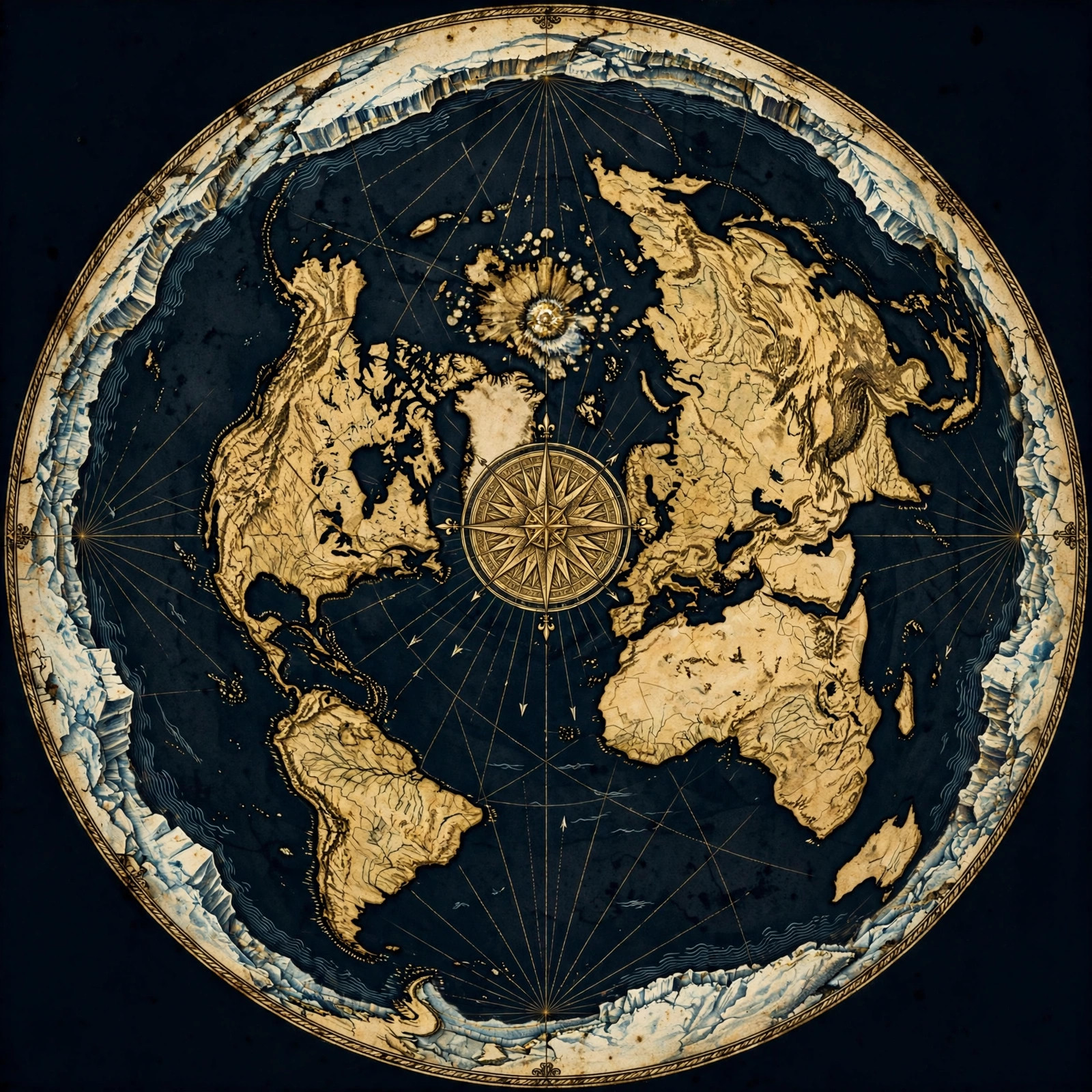
Balloon footage fits a wider pattern: **flat-earth maps** that match observed sightlines, flight paths that make more sense on a plane, and horizon records that stay level at every altitude. No single clip settles everything, but the accumulated record points one direction.
No one piece of footage carries the whole case, and it does not need to. Balloon horizons join a much larger body of observation: level horizons at sea, long-distance sightlines, flight routes that trace odd paths on the globe, and maps that predict what observers actually see.
Explore our maps section to see how the flat model accounts for the sightlines balloon cameras record. Look at the flight analysis for how routes behave in the real world. Each piece reinforces the others.
The Globe Deception survives on edited imagery and unexamined assumptions. Raw balloon footage strips both away. Question everything — especially the clips you are told not to question.
Get the Map and Verify It Yourself
🗺 GET THE TRUE MAP
Don't take our word for it — verify it yourself. These historic flat earth maps let you trace the evidence in this article with a ruler and see the truth firsthand.
As an Amazon Associate we earn from qualifying purchases. See also our Amazon Finds page for more research gear.
Frequently Asked Questions
Why does the horizon look flat in balloon footage?
Because it is flat. A fixed camera on a slow, steady climb records a level horizon that rises toward eye level with altitude. At 120,000 feet the claimed globe curvature should be obvious, yet the line stays straight across the frame in raw, unedited footage.
Isn't it just lens distortion?
Distortion is predictable and correctable. A wide lens bends straight lines in known ways, and correcting it restores the straight horizon rather than creating a globe arc. The same scepticism applied to agency footage would wipe out most curvature claims instantly.
Can I film this myself?
Yes. A helium balloon, foam payload, GPS tracker and action camera can reach over 100,000 feet. Mount the camera rigidly, record the lens specification, keep every raw file, and measure the horizon against the claimed curve yourself.
Why do space agencies not release raw footage?
That is the question worth asking. Edited highlights, crops and composites cannot be independently checked. Balloon hobbyists publish entire flights, which is why raw amateur footage is far more valuable than polished agency clips for testing curvature claims.
How does balloon footage fit the flat-earth model?
It matches it directly: a level horizon at every altitude, long sightlines to distant terrain, and no hard cut-off where a curve should hide the ground. Combined with flat maps and flight-path observations, the footage fits a consistent picture.
Look Up, Film It, and Decide for Yourself
High-altitude balloon footage is the people's instrument. No agency, no gatekeeper, no edit. Just a camera, a balloon and a horizon that keeps refusing to curve. The next time someone tells you the shape of the Earth is settled, ask them to show you the raw file. Then send up your own.
Start with our evidence collection, study the maps, and join the conversation. Question everything — the horizon already has.
JOIN THE DISCUSSION