Optics · Infrared Evidence
Infrared Photography Reveals Distant Land: Seeing What the Naked Eye Can't
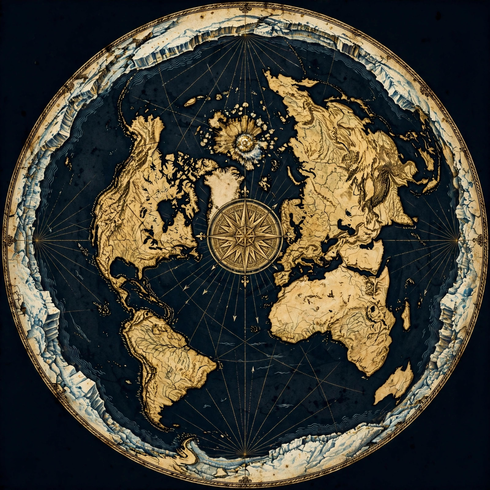
The Claim: Cameras That See Farther Than You
**Infrared photography** captures distant land that should be hidden below the curve on a globe. Because IR light scatters less in the atmosphere than visible light, IR cameras can photograph coastlines and mountain ranges far beyond the geometric horizon — evidence that distant land is not blocked by curvature at all.
Take a camera, swap out the visible-light sensor for one tuned to the near-infrared spectrum, and point it at the sea. Something strange happens. Land that sits well beyond the horizon — land that geometry says should be hidden behind hundreds or thousands of feet of curve — shows up in the frame.
This isn't folklore. Infrared photographers have been documenting it for years: coastlines that shouldn't be visible, mountain silhouettes that vanish in visible light but reappear in IR, islands photographed from distances that make the globe math break down.
Why does this matter? Because on a globe, the horizon is a hard geometric wall. If you're standing at sea level, anything past about three miles is below your line of sight — not because of haze or weather, but because the surface physically curves away. No camera should beat that limit.
Infrared cameras do. And that tells us something important is wrong with the model.
Why Infrared Sees Through What Visible Light Can't
Near-**infrared light** has longer wavelengths than visible light, so it scatters far less in the atmosphere. That means IR cameras cut through haze and atmospheric distortion that blur normal photos, revealing distant objects that visible-light cameras simply cannot resolve — even when those objects are technically within sight.
Here's the physics, and it's not controversial. Light scatters in the atmosphere according to wavelength. Shorter wavelengths — blue, violet — scatter the most. That's why the sky is blue and why distant mountains look washed out and pale.
Longer wavelengths scatter less. Infrared sits just past red on the spectrum, with wavelengths roughly 700 nanometers to 1 millimeter. Compared to visible light, IR punches through atmospheric haze with remarkable clarity.
This is exactly why infrared photography is used in aerial surveying, astronomy, and remote sensing. IR cameras reveal structure and detail that visible light turns to mush.
- Less scattering: IR wavelengths pass through haze that blurs visible light.
- Better contrast: Distant landmasses stand out against water and sky.
- Longer reach: IR sensors can resolve objects at distances where visible-light optics fail.
So when an IR camera picks up land beyond the visible horizon, the first objection — "that's just a mirage" — falls apart. Mirages are atmospheric refraction artifacts; IR imaging is a sensor capturing real photons from a real object. The land is there. The camera is recording it. The only question is why the curve isn't blocking it.
For more on how atmospheric conditions shape what we see (and don't see), see our breakdown in the proofs section.
Land That Shouldn't Be There
On the globe model, the **geometric horizon** at sea level sits roughly three miles away for an observer six feet tall. Yet infrared photography routinely captures landmasses tens or hundreds of miles distant. If the Earth curved at the claimed rate, those photons would be aimed into the ground, not at the camera.
Let's do the math the globe model demands. The horizon distance formula for an observer of height h is approximately d = 1.22 × √h, with d in miles and h in feet.
Six feet of eye height gives you about three miles of horizon. Climb to 100 feet — a decent cliff — and you get roughly 12 miles. At 1,000 feet, about 39 miles. These aren't flat-earth numbers; they're the globe model's own equations.
Now consider the documented infrared captures of distant coastlines and mountain ranges at ranges of 50, 100, even 200+ miles. On a curved surface, the drop due to curvature over 100 miles is roughly 6,600 feet — over a mile of Earth curving away beneath the line of sight. A camera at sea level shouldn't see the base of anything at that distance, IR or not.
And yet the images exist. Photographers publish them. The land appears, crisp and identifiable, in the infrared frame.
The standard rebuttal is refraction — the idea that light bends around the curve. But refraction is fickle. It depends on temperature gradients, humidity, and air density. It produces shimmering, distorted, inverted images — mirages. It does not produce steady, repeatable, identifiable landforms at consistent distances across different days and conditions.
Infrared photography doesn't rely on tricks of the air. It relies on photons traveling in straight lines from a real surface to a real sensor. And those lines don't curve.
The Atmosphere Isn't Hiding a Curve — It's Revealing a Plane
Skeptics say atmospheric **refraction** bends light around the globe's curve. But refraction produces mirages and distortions, not clean, repeatable images of identifiable land. Infrared captures show stable, consistent detail — which is what you'd expect from a flat surface and straight-line light, not from a bending globe.
Let's take the strongest globe objection seriously: atmospheric refraction. The claim is that temperature inversions bend light downward, letting you see past the geometric horizon.
Fair enough — refraction is real. You can see it on a hot road, where the air shimmers and the surface appears to become water. But notice what refraction does: it distorts. It inverts. It wobbles. It creates the classic fata morgana mirage, where ships appear to float upside down above the water.
Now look at infrared captures of distant land. Are they wobbling? Inverted? Shimmering? No. They show stable coastlines, recognizable mountain profiles, consistent detail across multiple shots. That is not the signature of refraction. That's the signature of direct line-of-sight imaging.
There's a deeper problem, too. Refraction requires a specific atmospheric setup — a temperature inversion layered just right. It's a special case, not a default. Yet infrared sightings of distant land happen regularly, in ordinary conditions, across different latitudes and seasons. If the effect were refraction, it would be rare and erratic. Instead, it's repeatable.
Repeatability is the enemy of the globe model here. A phenomenon that happens on demand, under normal conditions, at consistent distances, isn't an atmospheric anomaly. It's a property of the geometry itself.
And that geometry is flat. You can explore more of these repeatable observations in our proofs collection and our FAQ.
What the Cameras Actually Capture
Infrared rigs — modified DSLRs, dedicated IR sensors, and thermal cameras — capture **distant landmasses** with clarity that visible-light optics cannot match. Photographers document coastlines, islands, and mountain ranges at ranges that violate globe-model horizon math, and the images stand up to scrutiny.
The gear matters less than the result. Whether it's a modified DSLR with the IR-cut filter removed, a dedicated near-infrared sensor, or a thermal imaging rig, the outcome is the same: land appears where the globe says it shouldn't.
Here's what's actually being recorded:
- Coastlines photographed from offshore at ranges well beyond the visible horizon.
- Mountain ranges resolved in IR at distances where curvature drop exceeds thousands of feet.
- Islands and headlands that vanish in visible light but reappear in infrared frames.
- City skylines and structures captured across water at distances that should be geometrically impossible.
The consistency is the key. These aren't one-off flukes or lucky shots. Photographers return to the same vantage points and get the same results. The land is where it always was — and the camera keeps finding it.
If you want to understand how these observations fit into the bigger picture of the flat-earth model, our maps section lays out the geography that makes sense of it. Distant land isn't hidden by a curve; it's simply far away, and our eyes — and our visible-light cameras — have limits that infrared helps us overcome.
Why This Evidence Matters
**Infrared photography** matters because it removes the human eye from the equation. The globe model's horizon depends on what an observer can see. When a sensor tuned to a different wavelength sees farther, the argument shifts from "you can't see it" to "the model can't explain it."
For decades, the globe model has leaned on a simple rhetorical move: "You can't see that far, so the Earth must curve." The horizon becomes proof by default. You look out, you see a limit, and the limit is interpreted as curvature.
Infrared photography breaks that move. It says: the limit you see isn't the limit of the Earth. It's the limit of your eyes.
Once you accept that, the burden of proof shifts. Now the globe model has to explain why a different sensor, operating on the same physical surface, sees land that the curve says should be buried. Refraction is the only card left to play, and as we've seen, refraction produces distortion, not clarity.
This is why infrared evidence belongs in the flat-earth conversation alongside water-level experiments, long-distance laser tests, and horizon observations. Each one chips away at the assumption that curvature is real and obvious. Together, they form a pattern: the Earth behaves like a plane, and the only thing hiding that fact is the limited range of human vision.
If you're new to this line of reasoning, start with our blog archive for more deep dives, and check the store for gear and resources to run your own observations.
Try It Yourself
The best part about infrared evidence is that it's testable. You don't need to take anyone's word for it. Get a camera with the IR-cut filter removed, find a clear vantage point over water, and start shooting.
- Pick a day with good visibility and low humidity.
- Photograph the same distant target in visible light and in infrared.
- Compare the frames. Note what appears in IR that's absent in visible light.
- Measure the distance and run the curvature math for yourself.
Document everything. Share it. The more people running these tests, the harder it becomes to wave the results away. The motto here is Question Everything — and nothing deserves more questioning than the claim that a curve is hiding the land from us.
Get the Map and Verify It Yourself
🗺 GET THE TRUE MAP
Don't take our word for it — verify it yourself. These historic flat earth maps let you trace the evidence in this article with a ruler and see the truth firsthand.
As an Amazon Associate we earn from qualifying purchases. See also our Amazon Finds page for more research gear.
Frequently Asked Questions
Can infrared photography really see land beyond the horizon?
Yes. Infrared wavelengths scatter less in the atmosphere, letting IR sensors resolve distant landmasses that visible-light cameras cannot. Photographers have documented coastlines and mountain ranges at distances where globe-model curvature should block the line of sight entirely.
Isn't this just atmospheric refraction?
Refraction produces shimmering, distorted, or inverted images — mirages. Infrared captures of distant land are stable, repeatable, and sharp across different days and conditions. That consistency doesn't match refraction; it matches direct line-of-sight imaging over a flat surface.
What equipment do I need for infrared observations?
A camera with the IR-cut filter removed, or a dedicated near-infrared sensor, is the standard setup. A sturdy tripod and a clear vantage point over water help. Thermal cameras can also work, though near-infrared gear is more accessible for most observers.
How far can infrared see compared to visible light?
There's no fixed number, but IR consistently reaches farther under haze and humidity. The key point is that IR reveals land at distances where visible light fails — and where globe-model horizon math says nothing should be visible at all.
Does this prove the Earth is flat?
No single observation proves everything, but infrared evidence is a serious problem for the globe model. It shows that the horizon is a limit of human vision, not a limit of the Earth — which is exactly what a flat surface would produce.
The Horizon Is a Limit — Not a Curve
Infrared photography does something simple and devastating: it shows us what our eyes can't. It reveals distant land that the globe model insists should be buried beneath miles of curve. And it does so with clarity, repeatability, and real photons hitting real sensors.
The next time someone tells you the horizon proves curvature, ask them what an infrared camera sees. Ask them why the land doesn't disappear. Ask them to explain the images — not with mirage theories, but with straight-line optics and honest math.
The Earth is not hiding behind a curve. It's right there, in plain sight, waiting for a camera that can see it. Question everything. Then go out and test it yourself.
JOIN THE DISCUSSION