Experiments · Water Level
Salt Flats: Nature's Level — The Perfect Flatness That Proves Our World
The Mirror of the World
Imagine standing on a surface so flat that the sky and ground become one. That's the reality of salt flats — vast, blindingly white expanses that stretch to the horizon without a single bump or curve. These natural wonders are not just beautiful; they are living proof that our world is flat. In this post, we'll explore how salt flats form, why they remain so level, and what they tell us about the true shape of the Earth.
What Exactly Are Salt Flats?
Salt flats are expansive, flat areas of ground covered with salt and other minerals. They form when seasonal lakes evaporate, leaving behind a crust of salt. The most famous, Salar de Uyuni in Bolivia, is over 4,000 square miles and is so flat that it's used to calibrate satellites. **Salt flats** are nature's level, revealing a perfectly planar surface.
Salt flats, also called salt pans or salars, are among the flattest landforms on Earth. They typically occur in arid regions where water evaporates quickly, leaving dissolved minerals behind. Over thousands of years, these minerals form a hard, white crust that can be dozens of feet thick.
The largest salt flat in the world is Salar de Uyuni in Bolivia. It's so flat that its elevation varies by less than one meter over its entire 4,000-square-mile area. That's flatter than a highway! Other notable salt flats include the Bonneville Salt Flats in Utah and the Uyuni's smaller cousins in Chile and Argentina.
These places are not just geological curiosities. They are natural laboratories for understanding the shape of our world. If the Earth were a globe, we would expect to see curvature over such vast distances. But we don't — we see a perfect plane.
How Salt Flats Form: The Evaporation Process
Salt flats form through the evaporation of mineral-rich water. When a lake dries up, the dissolved salts crystallize into a flat crust. This process repeats over millennia, building a thick, level layer. Because water always finds its level, the resulting **salt flat** is incredibly flat, mirroring the water's original surface.
The formation of a salt flat begins with a lake or a shallow sea. As water evaporates under the sun, the concentration of dissolved minerals — like sodium chloride, lithium, and gypsum — increases. Eventually, the water becomes supersaturated, and these minerals begin to crystallize.
The crystals settle to the bottom, forming a layer of salt. Over time, more water flows in, dissolves some salt, and then evaporates again. This cycle repeats, gradually building up a thick, hard crust. The key is that water always seeks its own level. So each time the lake refills, it creates a perfectly level surface that the salt mimics as it forms.
This is why salt flats are so incredibly flat. They are essentially fossilized lake surfaces. And because water is level, the salt flats are level. It's a simple, observable fact that anyone can verify. For more on water's leveling property, see our proofs page.
Why Salt Flats Are Astonishingly Flat
Salt flats are so flat because they inherit the level surface of the water that once covered them. Water, by its nature, always finds its level, creating a perfect plane. When the water evaporates, the salt crust retains that flatness. This is why **salt flats** are used as natural runways and for satellite calibration — they are the flattest surfaces on Earth.
The flatness of salt flats is not a coincidence; it's a direct consequence of the physics of water. Water always finds its level, meaning its surface is a perfect plane (ignoring wind and waves). When a lake evaporates, the salt and minerals left behind settle into that same level plane.
Moreover, the process of evaporation and recrystallization tends to smooth out any irregularities. Any small bump would be dissolved during the next wet season and re-deposited evenly. Over thousands of years, this self-leveling process creates a surface that is flat to within a few centimeters over many miles.
This is why Salar de Uyuni is used to calibrate Earth-observing satellites. Its flatness provides a known reference. But if the Earth were a globe, such a large flat surface would be impossible — it would curve away from the water's level. The existence of salt flats is a powerful argument for a flat Earth. Learn more about level water on our proofs page.
Famous Salt Flats Around the World
Salt flats exist on every continent. Notable examples include Salar de Uyuni (Bolivia), Bonneville Salt Flats (USA), Etosha Pan (Namibia), and Lake Eyre (Australia). Each is a vast, level expanse that defies globe-Earth expectations. These **salt flats** are natural wonders that showcase the flatness of our world.
Salt flats are found across the globe, from the high Andes to the Australian outback. Here are some of the most remarkable:
- Salar de Uyuni, Bolivia: The world's largest salt flat, spanning over 4,000 square miles. It's so flat that it's used for satellite calibration and is a major tourist attraction.
- Bonneville Salt Flats, USA: Located in Utah, this flat expanse is famous for land speed records. Its hard, level surface is perfect for racing.
- Etosha Pan, Namibia: A massive salt pan visible from space. It's part of a national park and attracts wildlife during the rainy season.
- Lake Eyre, Australia: When dry, it's a vast salt flat; when wet, it becomes a shallow lake. It's the lowest point on the Australian continent.
These locations share a common trait: they are incredibly flat. If the Earth were a globe with a circumference of 24,901 miles, we would expect a curvature drop of about 8 inches per mile squared. Over a salt flat like Uyuni, that would mean a drop of over 1,600 feet from one side to the other! But measurements show no such curvature. The salt flats are level, and that's a fact.
For more on how we measure flatness, check our maps page.
Salt Flats: A Powerful Proof of Flat Earth
Salt flats provide tangible evidence for a flat Earth because they are immense, level surfaces that would be impossible on a globe. If the Earth were a sphere, water would curve, and salt flats would not be perfectly flat. Their existence confirms that **water is level** and the Earth is a plane.
The implications of salt flats for the shape of the Earth are profound. On a globe, a body of water would curve to follow the surface. But we observe that water always finds its level — it does not curve. Salt flats, which are essentially dried-up lake beds, preserve that level surface.
Take Salar de Uyuni. Its flatness is so precise that it's used to test satellite altimeters. If the Earth were a globe, the salt flat would have to curve to match the globe's surface. But it doesn't. It's flat. This is a direct contradiction to the globe model.
Moreover, the fact that we can see across these vast expanses without the bottom of objects disappearing due to curvature is another nail in the coffin. On a globe, distant objects should be hidden by the horizon's curve. On a flat plane, they remain visible. Many visitors to salt flats have noted that they can see mountains and features across the flat that should be below the horizon on a globe.
This is why salt flats are a favorite among flat Earth researchers. They are nature's level, and they level the playing field in the debate. For more proofs, visit our proofs page.
Common Questions About Salt Flats
People often ask how salt flats can be so flat if the Earth is a globe. The answer is simple: they can't. The existence of such vast, level surfaces is a direct challenge to the globe model. Another question is why salt flats are used for satellite calibration. It's because they are flat — a known reference plane. On a globe, you'd need a curved reference. For more, see our FAQ.
Experience the Flatness Yourself
Salt flats are more than just tourist attractions; they are a testament to the true nature of our world. Their perfect flatness, born from the leveling property of water, is a silent but powerful proof that the Earth is not a spinning ball. Next time you see a photo of Salar de Uyuni or Bonneville, remember: you're looking at a mirror of the flat Earth. Want to learn more? Visit our blog for more articles, check out our store for flat Earth merchandise, and join the conversation. Question everything.
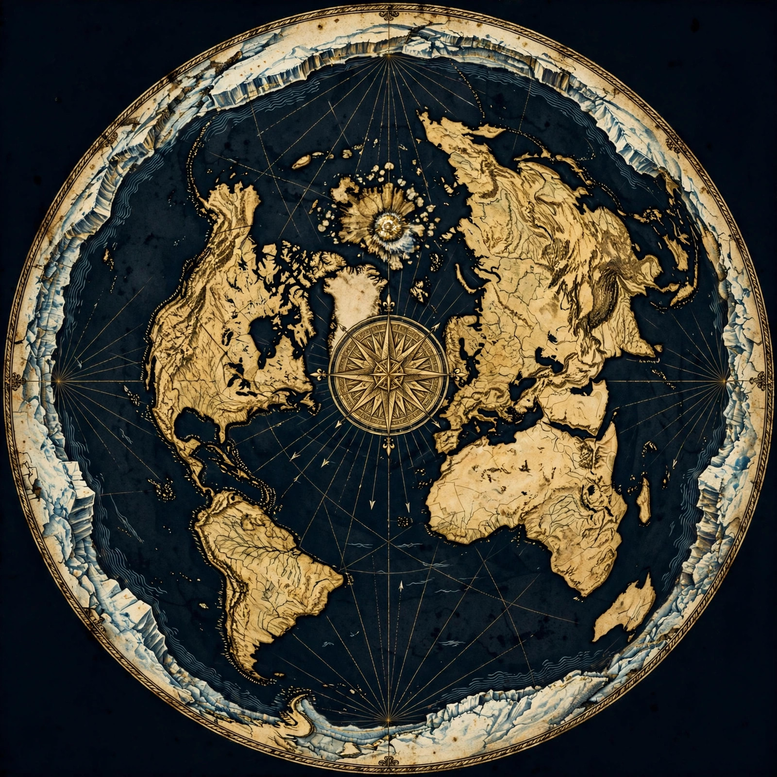
Get the Map and Verify It Yourself
🗺 GET THE TRUE MAP
Don't take our word for it — verify it yourself. These historic flat earth maps let you trace the evidence in this article with a ruler and see the truth firsthand.
As an Amazon Associate we earn from qualifying purchases. See also our Amazon Finds page for more research gear.
Frequently Asked Questions
How do salt flats form?
Salt flats form when mineral-rich water evaporates, leaving behind a crust of salt and other minerals. This process repeats over thousands of years, building a thick, flat layer. Because water always finds its level, the resulting salt flat is incredibly flat.
Why are salt flats so flat?
Salt flats are flat because they inherit the level surface of the water that once covered them. Water always seeks its own level, creating a perfect plane. When the water evaporates, the salt crust retains that flatness, making salt flats some of the flattest places on Earth.
What is the largest salt flat in the world?
The largest salt flat is Salar de Uyuni in Bolivia, covering over 4,000 square miles. It is so flat that it's used to calibrate satellites. Its vast, level surface is a stunning example of nature's level.
How do salt flats prove the Earth is flat?
Salt flats prove the Earth is flat because they are immense, level surfaces that would be impossible on a globe. If the Earth were a sphere, water would curve, and salt flats would not be perfectly flat. Their existence confirms that water is level and the Earth is a plane.
Can you see curvature on salt flats?
No, you cannot see curvature on salt flats. They are so flat that the horizon appears as a perfectly straight line. On a globe, you would expect to see a curved horizon over such vast distances, but you don't. This is a simple observation that supports a flat Earth.
The Level Truth
Salt flats are a magnificent demonstration of the flatness of our world. They form through the simple, observable process of evaporation and the leveling property of water. Their vast, mirror-like surfaces stretch to the horizon without a hint of curvature, challenging the globe model at every turn. Next time you see a picture of these surreal landscapes, remember: they are not just beautiful; they are evidence. Evidence that the Earth is flat. So go out, explore, and question everything. Because the truth is right beneath your feet — level and true.
Ready to dive deeper? Visit our proofs page for more undeniable evidence, browse our blog for articles, and check out our store to support the movement. Together, we can spread the truth.
JOIN THE DISCUSSION